НаличностПродуктът в момента не е на разположение за продажба.
Информация за наличност
Отзиви
Описание на продукта
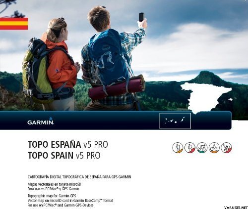
Whether you are out for a hike, a climbing tour or a bike ride, explore Spain with 1:25,000 – 1:50,000 topographic map data for your compatible device.
- Features ActiveRouting¹ with:
- Activity specific outdoor routing (customized and activity-specific route planning)
- Named trail routing (routing along a specific trail)
- Activity-specific map display
- Offers optimized map layout for better readability
- Shows routing on the entire enclosed road and path system, NAVTEQ's routable road network as well as detailed recreational network information (hiking, cycling, mountain biking)
- Displays marked and named hiking and cycling trails (e.g. Vias Verdes, Caminos de Santiago, GR, GRT, PR, SL)
- Includes searchable business, touristic, outdoor and recreational points of interest, geographic places, city-points and other recreational POIs
- Displays digital elevation model (DEM), dense contour interval of 20 m equidistance, for 3-D profiling
¹ActiveRouting supported by BaseCamp™ on Windows®/Mac® and Montana®, GPSMAP® 62/78, Edge® 810, and Oregon® x50/6x0 devices.
Приблизителният размер на опакования продукт или опаковката е 50 x 50 x 10 mm.
Тегло0,05 kg(Включва теглото на пакета за продажба, ако има такъв)
Гаранция24 месец(а)
КоментариДобавете коментар
Марка


 — Покажи оригинала