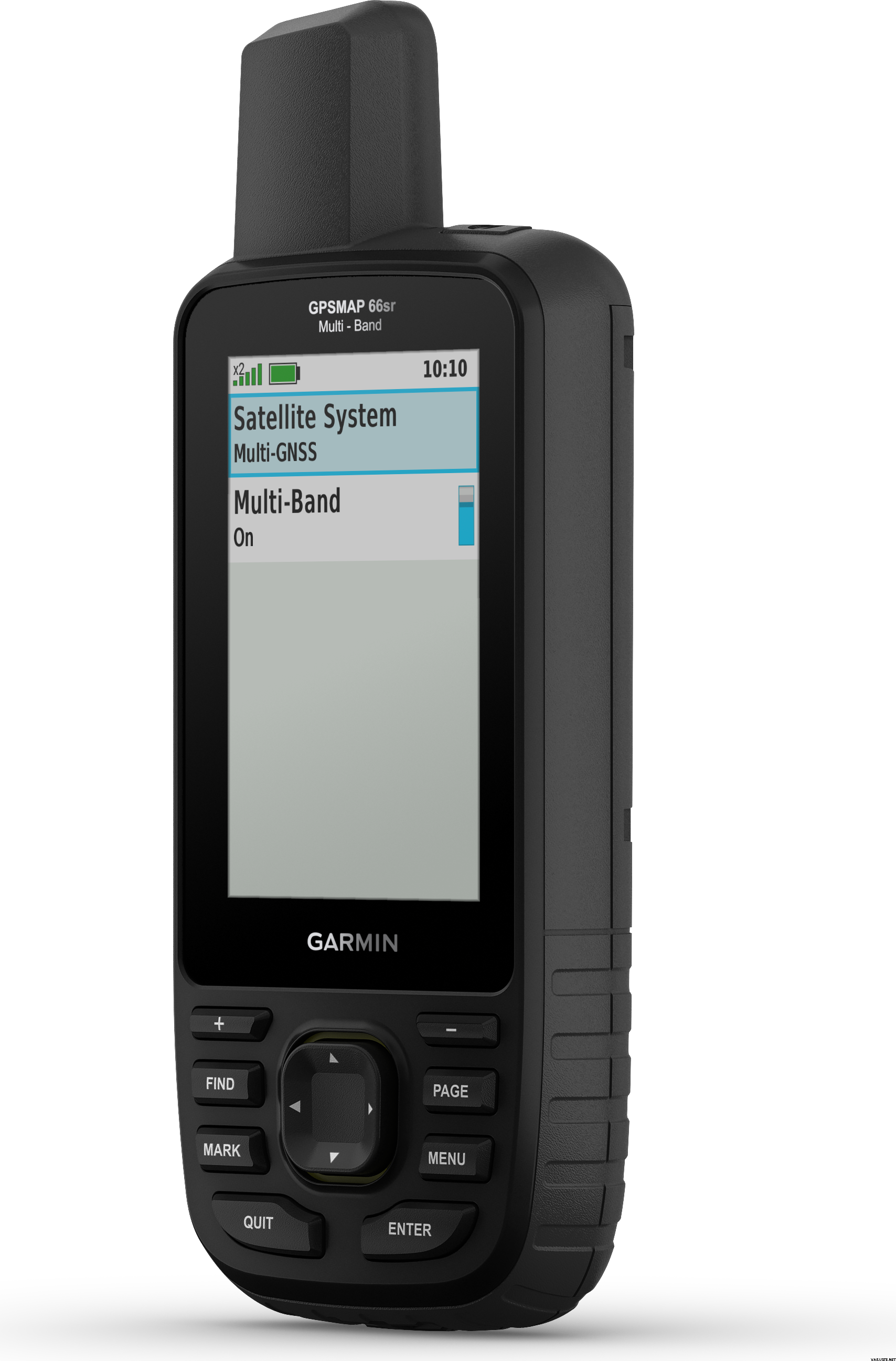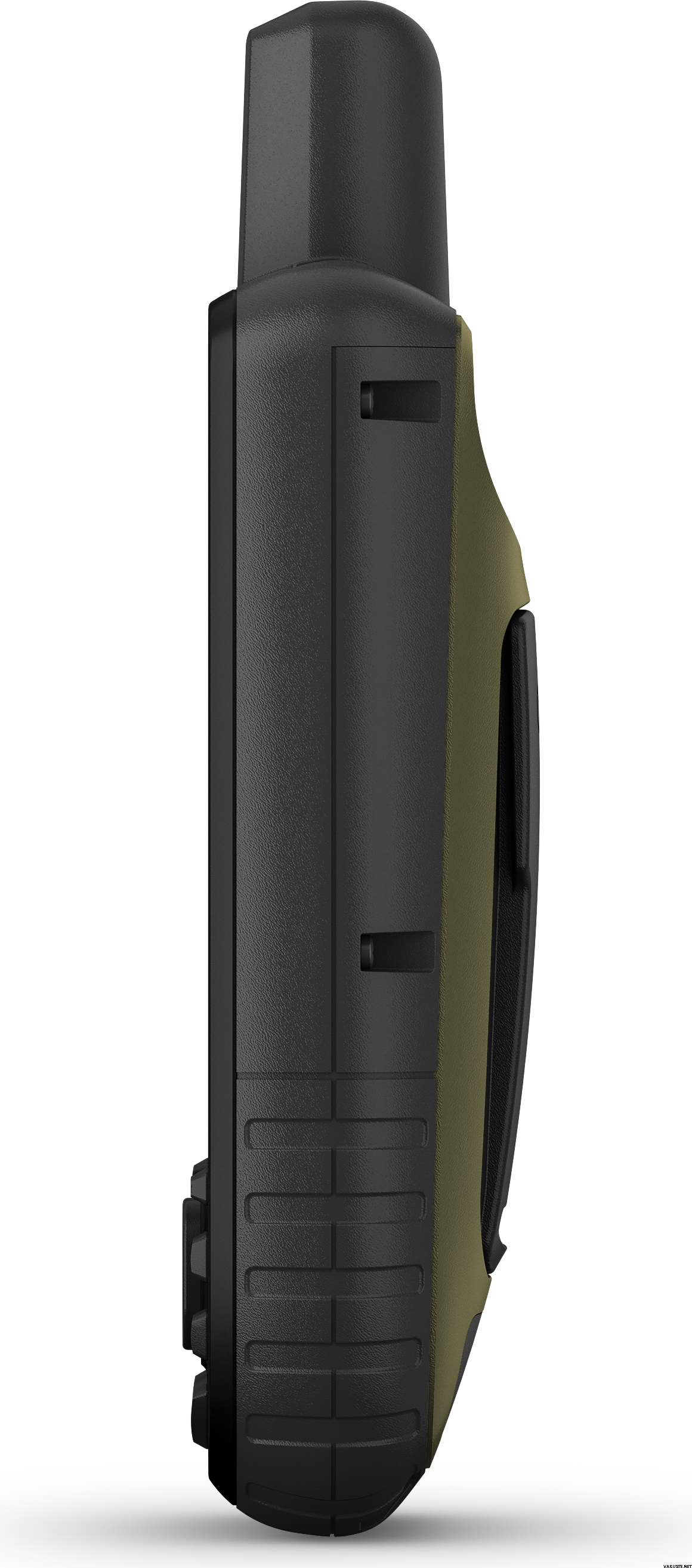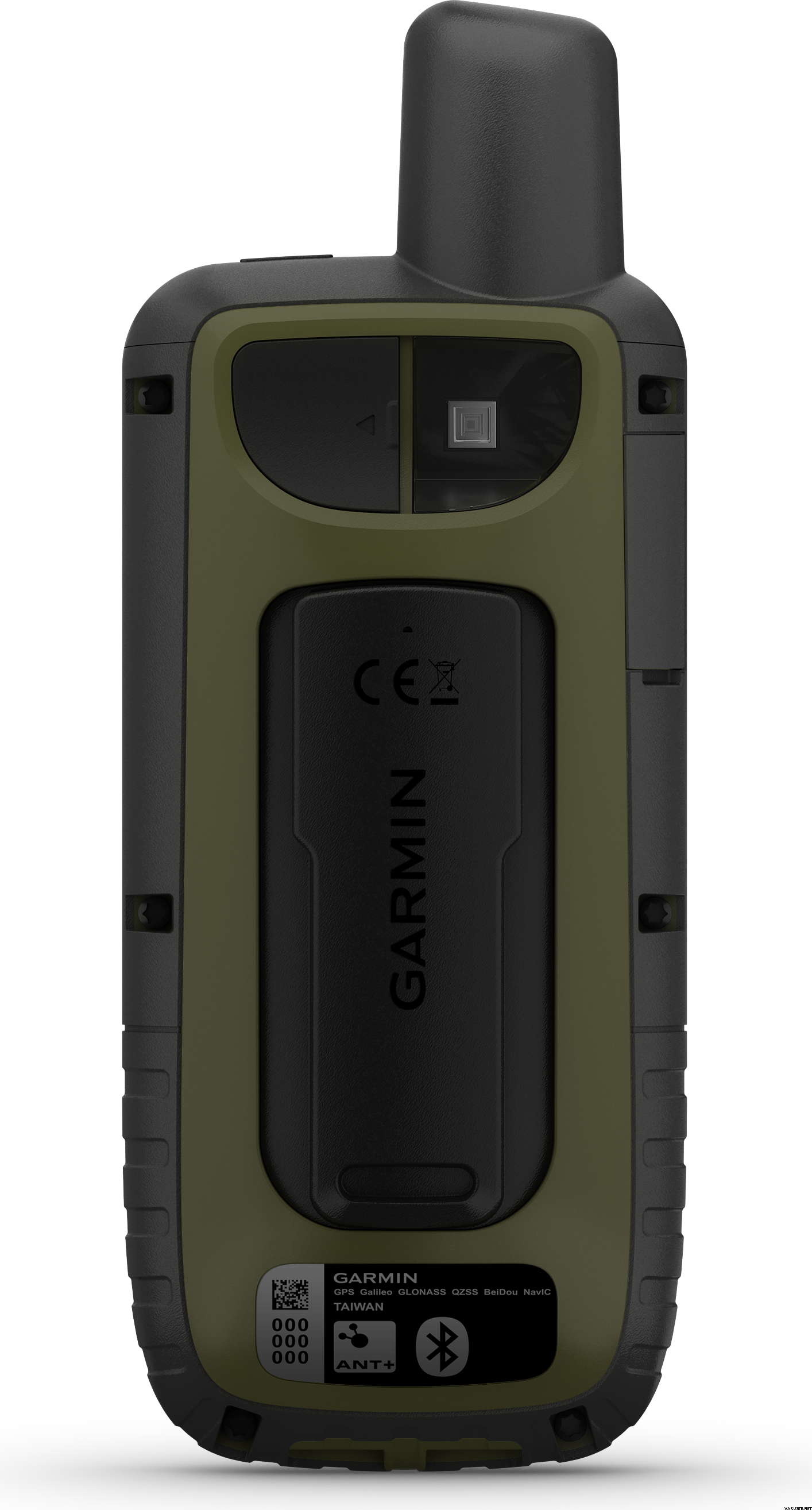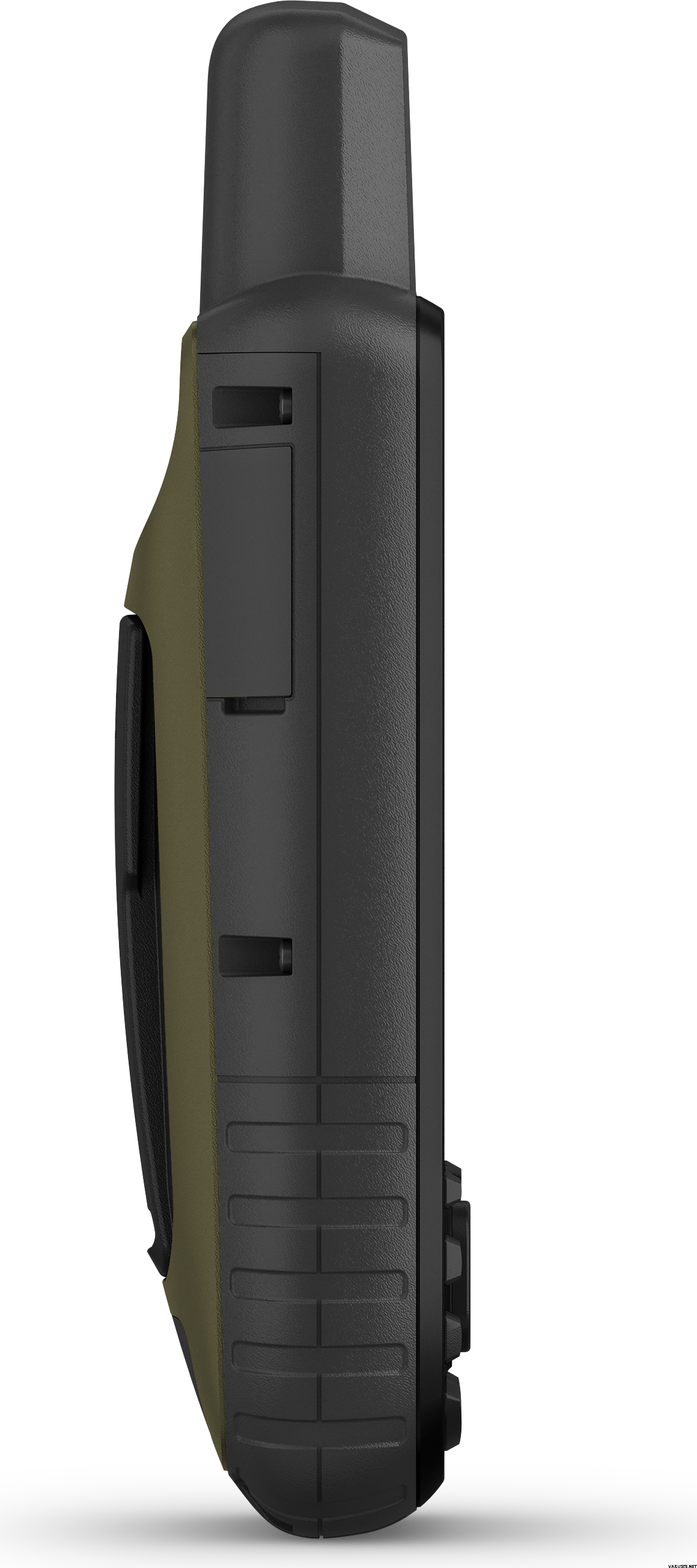
Garmin GPSMAP 66sr ja TopoActive Europe -kartat (Länsi-Euroopan pakkaus)
Dit product is momenteel niet verkrijgbaar.
Aantal voorraad
Recensies
| Algemene waardering | (6 recensies) |
Productomschrijving
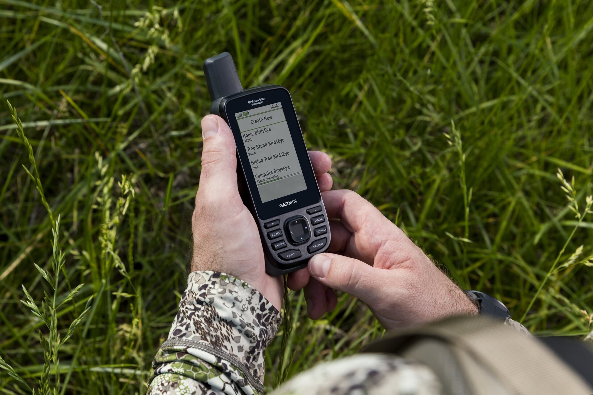
Garmin GPSMAP 66sr is a multi-band/GNSS handheld with sensors and TopoActive Europe maps. Whether you’re hiking, hunting, climbing, geocaching, kayaking or mountain biking, explore more by using this premium, rugged handheld with a 3-inch colour display, preloaded maps and optimal accuracy.
- No squinting necessary with this large, sunlight-readable colour display.
- Multi-band technology and expanded GNSS satellite support guide the way in challenging locations.
- Maps as pretty as a picture and just as detailed — without a subscription.
- See the peaks and valleys clearly with TopoActive Europe maps.
- Having Active Weather is like having your own personal weather forecaster on your journey1.
- Explore more with up to 36 hours of battery life in GPS mode and up to 450 hours in Expedition mode.
- Integrated LED flashlight
Multi-band technology and expanded GNSS support (GPS, GLONASS, Galileo, QZSS and IRNSS) provide optimal accuracy in steep country, urban canyons and forests with dense trees. Navigate every trail with ABC sensors, including an altimeter for elevation data, barometer to monitor weather and 3-axis electronic compass.
Birdseye Satellite Imagery allows you to download high-resolution photo-realistic maps directly to your device without an annual subscription. Easily find trails, pick stand locations, find parking, create waypoints and more. Preloaded TopoActive Europe maps provide detailed views of routable street and off-road networks, waterways, natural features, land use areas, buildings and more. When paired with your compatible smartphone, you can get real-time forecast information and live weather radar, so you’re aware of the surrounding conditions1.
This handheld is built to military standards for thermal, shock and water performance (MIL-STD-810), and it’s even compatible with night vision goggles. The GPSMAP 66 series helps you keep gear to a minimum with a built-in LED flashlight that can be used as a beacon to signal for help.
Get automatic cache updates from Geocaching Live, including descriptions, logs and hints. When connected via Wi-Fi® technology or to the Garmin Connect™ app, each find will upload to your Geocaching.com profile. Plan, review and sync waypoints, routes and tracks by using the Garmin Explore™ app2 and website. You can even review completed activities while still in the field. Internal lithium-ion rechargeable battery provides up to 36 hours of battery life in GPS mode and up to 3 weeks in Expedition mode.
What's in the box:
- GPSMAP 66sr
- USB cable
- Carabiner clip
- Documentation
General
| Physical dimensions | 6,2 x 16,3 x 3,5 cm |
|---|---|
| Display size | 3.8 x 6.3 cm; 3-inch diagonal (7.6 cm) |
| Display resolution | 240 x 400 pixels |
| Display type | Transflective, colour TFT |
| Weight | 230 g with batteries |
| Battery type | Rechargeable, internal lithium-ion |
| Battery life | Up to 36 hours, up to 450 hours in expedition mode |
| Water rating | IPX7 |
| MIL-STD-810 | yes (thermal, shock, water) |
| High-sensitivity receiver | yes |
| Interface | High-speed micro USB and NMEA 0183 compatible |
| Memory/history | 16 GB (user space varies based on included mapping) |
Maps & memory
| Preloaded maps | Yes (TopoActive Europe; routable) |
|---|---|
| Map segments | 15 000 |
| Birdseye | Yes (direct to device) |
| Storage and power capacity | Yes (32 GB max microSD™ card) |
| Waypoints/favourites/locations | 10 000 |
| Tracks | 250 |
| Track log | 20,000 points, 250 saved gpx tracks, 300 saved fit activities |
| Routes | 200, 250 pistettä reitillä, 50 pisteen automaattinen reititys |
- Basemap
- Ability to add maps
- Automatic routing (turn by turn routing on roads)
- Includes detailed hydrographic features (coastlines, lake/river shorelines, wetlands and perennial and seasonal streams)
- Includes searchable points of interests (parks, campgrounds, scenic lookouts and picnic sites)
- Displays national, state and local parks, forests, and wilderness areas
| Sensors | Daily smart features |
|---|---|
|
|
- LIVETRACK
- Point-to-point navigation
- Area calculation
- Compatible with Basecamp™
- Hunt/fish calendar
- Sun and moon information
- Xero™ locations
- Geocaching-friendly
- Custom maps compatible: yes (500 custom map tiles)
- Picture viewer
- Inreach Remote widget
- LED beacon flashlight
- Compatible with Garmin Explore™ app
- Wireless connectivity: Bluetooth®, ANT+®
Barometrische hoogtemeter
Ja
Battery life max (h)
36
Geschikt voor geocaching
Ja
Resolutie van het beeldscherm
240 x 400
Satellietcommunicatie
Nee
Screen size (inches)
3,0
Gewicht
0,23 kg
(met verpakking 0,35 kg)
Garantie
24 maand(en)
Land van oorsprong
Commentaren
| Algemene waardering | ☆☆☆☆☆ |
 — Origineel weergeven
| Algemene waardering |
Het lijdt geen twijfel hoe goed de multi-band GPS-chip is. Ik heb Garmin gecontacteerd over de WAAS/EGNOS-functie die in de gebruikershandleiding wordt geadverteerd, zij antwoordden: "Na wat speurwerk hebben we ontdekt dat de 66sr geen gebruik maakt van WAAS/EGNOS. Dit komt door de multi-bandtechnologie. We zullen hebben voorgesteld om een opmerking in de handleiding toe te voegen. Onze excuses voor het eventuele ongemak dat hierdoor is ontstaan."
Ik bezit ook al jaren de Garmin GPSMAP 64sc en ik heb de afgelopen jaren weinig verbeteringen gevonden. Het 66sr-scherm is beter, de knoppen zijn beter, maar de embedded software is nog steeds vrij traag, de UI/UX is niet verbeterd. Er is ook een "functie" die voor mij een "bug" is: de locker voor lage temperaturen. De 66sr wordt uitgeschakeld onder -20degC, zelfs als de lithiumbatterij technisch gezien kan werken onder -20degC. Toen ik aan het skiën was bij -26°C, was mijn 66sr "dood", maar mijn oude 64sc met zijn NiMH-batterij werkte goed.Merk


