Sporten‪» Buitenactiviteiten‪» Elektronica‪» Gps-toestellen‪» Hiking GPS‪»

Garmin GPSMAP 66i and TopoActive Europe

Garmin GPSMAP 66i and TopoActive Europe

Garmin GPSMAP 66i and TopoActive Europe

Promotieprijs
580,07 + verzendkosten
De offerte blijft geldig nog
Normale prijs 649,00 €
Incl. btw 25.5 %


Aantal
stuk


Winkel (Helsinki)op het schap0 stuks
Online op voorraad0 stuks

Productcode
010-02088-02
Barcode
753759218744

Ook bekijken
Kaarten
National Land Survey Of Finland: Electronic Map of Finland in microSD
+25,00 €


U kunt maximaal het aantal producten bestellen, dat wij op voorraad hebben.
Beschikbaarheid
Ongeveer 3 - 15 dag(en) van de bestelling. De betrouwbaarheid van de schatting is vrij goed.

Aantal voorraad
Ik ontvang graag een notificatie wanneer dit product weer op voorraad is.


Recensies
Algemene waardering ()


Productomschrijving
Rugged GPS handheld and inReach satellite communicator with Garmin TopoActive Europe mapping.
  • Large 3" sunlight-readable colour display for easy viewing
  • Trigger an interactive SOS to the GEOS 24/7 search and rescue monitoring center; two-way messaging via the 100% global Iridium® satellite network (satellite subscription required)
  • Preloaded Garmin TopoActive Europe mapping with direct-to-device BirdsEye Satellite Imagery downloads (no annual subscription); includes multiple Global Navigation Satellite Systems (GNSS) support and navigation sensors
  • Cellular connectivity lets you access Active Weather forecasts and Geocaching Live
  • Compatible with the Garmin Explore™ website and app to help you manage waypoints, routes, activities and collections, use tracks and review trip data from the field
  • Internal, rechargeable lithium battery provides up to 35 hours of battery life in 10-minute tracking mode; 200 hours in Expedition mode with 30-minute tracking intervals
The sturdy, button-operated GPSMAP 66i features a large 3" colour display you can see even in bright sunlight. If you're out in the field for long stretches of time, you can turn on Expedition mode and get up to 200 hours of battery life while using inReach technology. In the default tracking mode, you get up to 35 hours of battery life, and your device will save your location every 10 minutes.

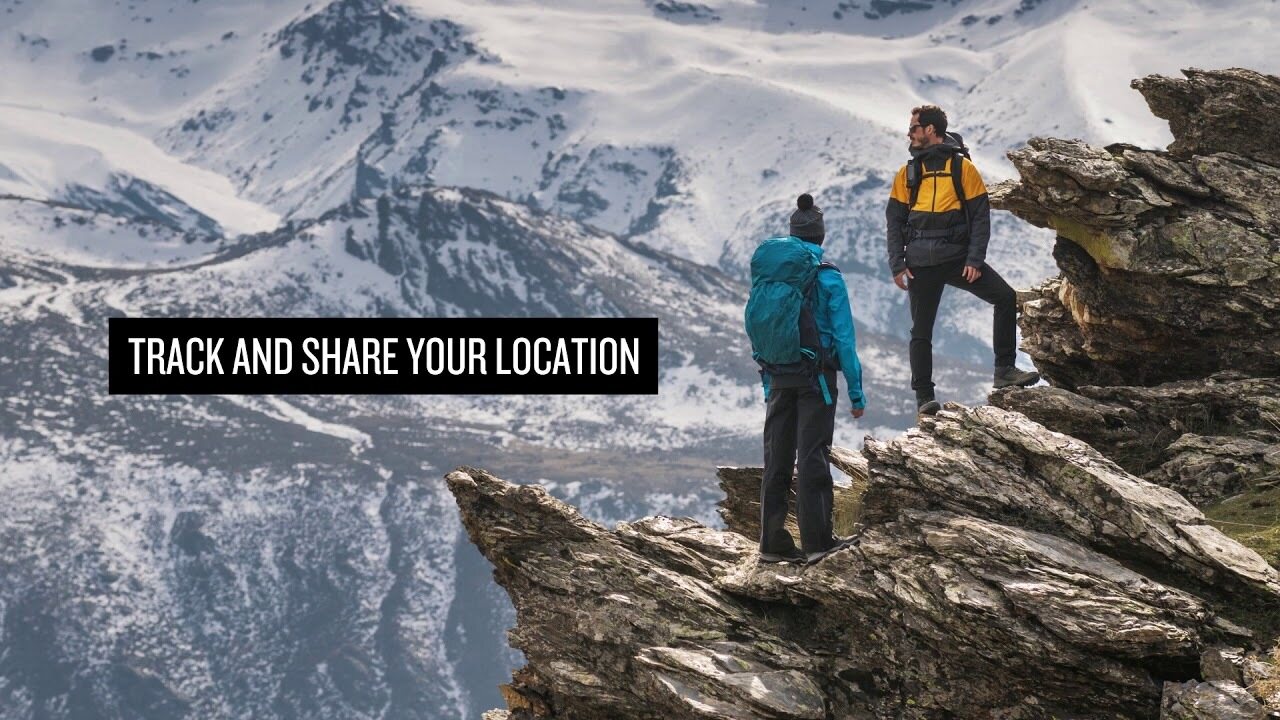
Staying in touch is vital, even on less challenging trips. Using inReach technology (subscription required), this handheld lets you trigger an SOS to the GEOS 24/7 emergency response team for interactive support in an emergency. It also enables two-way messaging and LiveTrack location sharing via the 100% global Iridium satellite network, so you can stay in contact with loved ones, teammates, headquarters and more.

GPSMAP 66i is fitted with the best in Garmin navigation. Preloaded Garmin TopoActive Europe mapping provides detailed views of topographic elevations, summits, parks, coastlines, rivers, lakes and geographical points. Direct-to-device downloads of BirdsEye Satellite Imagery provide high-resolution photo-realistic views of your route, trailheads, clearings and more — without an annual subscription. Support for multi-GNSS combined with altimeter, barometer and compass navigation sensors lets you track and navigate in challenging environments.

Wireless cellular connectivity lets you access Active Weather for up-to-date forecasts, including predictive maps for temperature, wind, precipitation and clouds — right on the handheld when connected to Garmin Connect Mobile.

The free Garmin Explore mobile app lets you plan, review and sync data, including waypoints, routes, activities and collections. Review completed activities while still in the field, even when you're off the grid. The app also lets you sync your GPSMAP 66i with your compatible mobile device so you can access unlimited maps, aerial imagery and U.S. NOAA charts. You can even use all of the inReach features on your paired mobile device. For easier messaging, you can access your phone's contact list from the Garmin Explore app to connect with fewer keystrokes. Plan for future trips and review previous activities from the Garmin Explore website.

Physical dimensions 6.6 x 16.3 x 3.5 cm
Display size 3.8 x 6.3 cm; 3" diag (7.6 cm)
Display resolution 240 x 400 pixels
Display type Transflective colour TFT
Weight 241 g
Battery Rechargeable lithium-ion
Battery life Up to 35 hours at 10-minute tracking; up to 200 hours at 30-minute tracking (power save mode)
Water rating IPX7
Memory/history 16GB
High-sensitivity receiver
Interface High-speed USB and NMEA 0183 compatible

Maps & memory

Preloaded maps Yes (topographic)
Ability to add maps
Basemap
Storage and power capacity microSD™ card (not included)
Waypoints/favourites/locations 10,000
Routes 250
Track log 20,000 points, 250 saved gpx tracks, 300 saved fit archives

Sensors

Barometric altimeter
Compass Yes (tilt-compensated 3-axis)

In the box:
  • GPSMAP 66i
  • Access to Birdseye Satellite Imagery
  • Charging/data cable
  • Carabiner clip
  • Documentation

De afmeting van het verpakte product of de verpakking is ongeveer 60 x 180 x 160 mm.


Barometrische hoogtemeter
Ja


Battery life max (h)
200


Geschikt voor geocaching
Ja


IP Classification
IPX7


Resolutie van het beeldscherm
240 x 400


Satellietcommunicatie
Ja


Screen size (inches)
3,0


Gewicht
0,48 kg


Garantie
24 maand(en)


Land van oorsprong
Taiwan


Commentaren
juk...@...om geverifieerde koper, 19.12.2022
Algemene waardering
Vertaald door GoogleOrigineel weergeven
Vijf sterren voor de navigator. Een van de terreinkaarten van Finland is uit de verpakking weggelaten, die voor mij geen waarde heeft omdat de routing niet werkt.

Anoniem geverifieerde koper, 9.8.2022
Algemene waardering
Vertaald door GoogleOrigineel weergeven
Het gebruik vereist een beetje oefening, want er zijn veel functies. In de energiebesparende modus gaat de batterij erg goed mee. Gegarandeerde Garmin-kwaliteit.
sam...@...om geverifieerde koper, 23.7.2021
Algemene waardering
Vertaald door GoogleOrigineel weergeven
Robuust, betrouwbaar en "keyboard" verkrijgbaar met handschoenen in de hand. Precies wat ik zelf vond. Voor het eerst al gedruppeld en gegromd zonder enige schade.
pekka U. geverifieerde koper, 12.4.2021
Algemene waardering
Vertaald door GoogleOrigineel weergeven
Het gebruik staat nog in de kinderschoenen en na GPSMAP64s zijn er veel verschillen in functionaliteit die moeten worden onderzocht en nieuwe besturingsmodellen moeten worden gevonden. Een weerbericht oppikken midden in de wildernis was echt een goede eigenschap.
Anoniem geverifieerde koper, 29.3.2021
Algemene waardering
Vertaald door GoogleOrigineel weergeven
Gegarandeerde Garmin-kwaliteit. Goede duidelijke kaarten, goed scherm en redelijk eenvoudig in gebruik. De satellietverbinding werkt overal en de locatie is eenvoudig te delen. Levensduur van de batterij te kort. Het apparaat moet elke dag worden opgeladen en het oplaadgaatje zit in de achterklep, dus opladen in je broekzak is ook niet eenvoudig. Voor lange wandelingen is het Explorer-model de juiste keuze.
jan w. geverifieerde koper, 10.3.2021
Algemene waardering
Vertaald door GoogleOrigineel weergeven
Goed apparaat, basisfuncties werken. Pas bij zelfgemaakte routes op dat u het kompas niet dwingt om op een waypoint te verschijnen dat al van een afstand is gepasseerd, maar naar het volgende. Geen verbinding meer met de telefoon. Er kunnen geen bereikbare berichten van het apparaat worden verwijderd en contacten kunnen niet worden bijgewerkt.
Teemu K. geverifieerde koper, 11.7.2020
Algemene waardering
Vertaald door GoogleOrigineel weergeven
Dit is het model dat al in Finland en Europa kan worden gebruikt. Fijn op plekken waar de mobiele telefoon het niet doet en zorgt ervoor dat de woning informatie krijgt over de accommodatie en het welzijn. Veel functies en ontlading van de batterij kunnen worden opgemerkt dat het voldoende is voor een krappe plaats.
Pasi P. geverifieerde koper, 11.6.2020
Algemene waardering
Vertaald door GoogleOrigineel weergeven
Dit is absoluut het ultieme apparaat om alleen in de wildernis te wandelen. Doet wat hij belooft. Het was leuk om thuis een bericht te plaatsen en ook berichten van buiten de mobiele netwerken te krijgen. Aan het einde van de reis van de week zat er nog steeds 30-40% in de batterij, ook al was de monitoring gedurende de hele reis ingeschakeld.
Lasse L. geverifieerde koper, 7.1.2020
Algemene waardering
Vertaald door GoogleOrigineel weergeven
Slechts enkele weken gebruikt. Een stevig ogend apparaat dat aan de verwachtingen heeft voldaan. Het gebruik van de telefoon en de computer in verschillende functies bevindt zich nog in de leer- en testfase. Deze bedieningsinstructies van hogere kwaliteit zouden nuttig zijn.
Jani H. geverifieerde koper, 4.1.2020
Algemene waardering
Vertaald door GoogleOrigineel weergeven
Heel goed spel. Uitstekende eigenschappen.
Alles weergeven (12) Een commentaar leveren

Merk


GPSMAP 66i: Premium GPS Handheld and Satellite Communicator

Producten, die vaak gekocht zijn met dit product:


Blog

Hanki esiladattu kartta-aineisto mukaan muistikorttipaikkaisiin Garmin-laitteisiin

Myymme muistikorttipaikkaisiin Garmin GPS-laitteisiin microSD-korttia, johon on esiladattu Maanmittauslaitoksen kartta-aineiston pohjalta laadittu maastokartta (Tekijä on Teemu Peltonen. Lisensoitu Creative Commons Nimeä-Ei muutoksia-Epäkaupallinen 4.0 Muokkaamaton -lisenssillä.)...


Benefits and Uses of Garmin inReach Devices

Garmin inReach devices provide safety and connect you with your loved ones, no matter what adventure you embark on The best adventures are often experienced far from civilization. Whether climbing mountain slopes, hiking deep in the forest, or paddling on the sea, you can enjoy t...